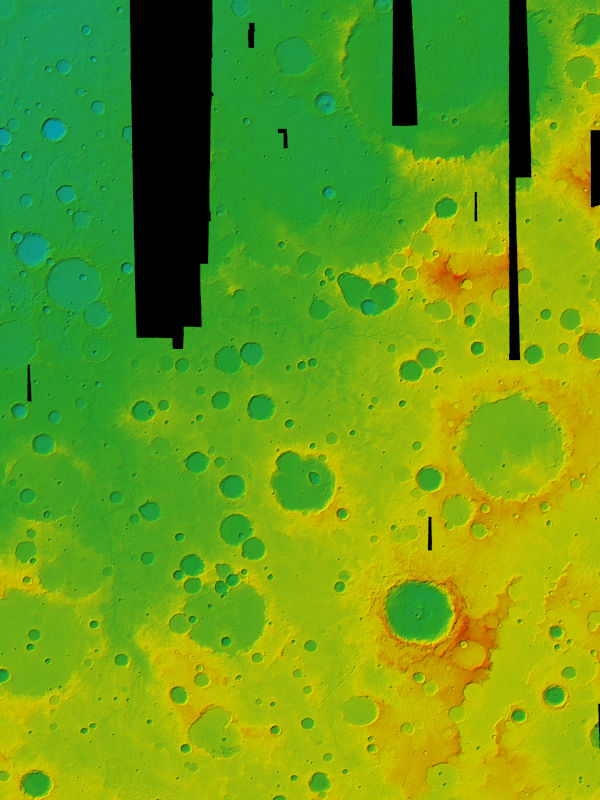
MC20W
Digital Terrain Models and Color Image Files
DT5 - digital terrain model, heights w.r.t. Mars sphere (4 tiles)
DA5 - digital terrain model, heights w.r.t. Areoid (4 tiles)
CO5 - RGB color mosaic (4 tiles)
CO5PS - pansharpened RGB color mosaic (16 tiles)
- HMC_20W11_co5ps.tif
- HMC_20W12_co5ps.tif
- HMC_20W13_co5ps.tif
- HMC_20W14_co5ps.tif
- HMC_20W21_co5ps.tif
- HMC_20W22_co5ps.tif
- HMC_20W23_co5ps.tif
- HMC_20W24_co5ps.tif
- HMC_20W31_co5ps.tif
- HMC_20W32_co5ps.tif
- HMC_20W33_co5ps.tif
- HMC_20W34_co5ps.tif
- HMC_20W41_co5ps.tif
- HMC_20W42_co5ps.tif
- HMC_20W43_co5ps.tif
- HMC_20W44_co5ps.tif
ND5 - nadir channel mosaic (16 tiles)
Shaded relief
Topographic Maps
preview
- HMC_20W10_TopoMap_2021.png
- HMC_20W20_TopoMap_2021.png
- HMC_20W30_TopoMap_2021.png
- HMC_20W40_TopoMap_2021.png
full size PDF
- HMC_20W10_TopoMap_2021.pdf
- HMC_20W20_TopoMap_2021.pdf
- HMC_20W30_TopoMap_2021.pdf
- HMC_20W40_TopoMap_2021.pdf

